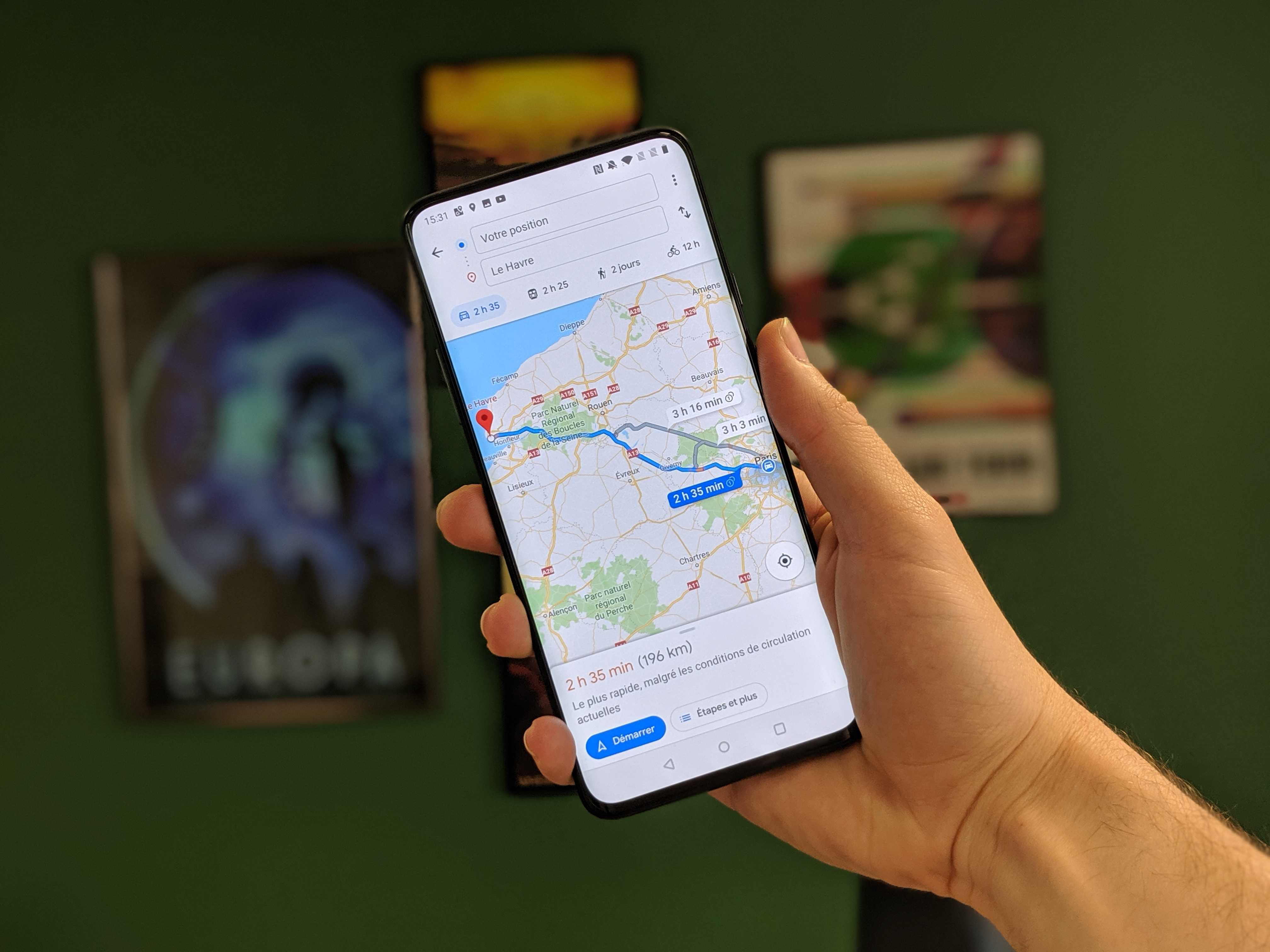
Google Maps adds a very handy new feature to plan your trips

Google Maps now includes a weather display for the location you’re viewing on the screen.

This is a particularly handy little new feature that has arrived on the Android version of Google Maps. The mapping app now allows you to see the weather of the location you are looking at, at a glance.
Specifically, the app’s latest update will now display both the time and temperature on the map segment you’re viewing, in the upper left corner, below the points of interest. So you will be able to know if it is raining now, what is the temperature and even the air quality index if the data is available.
By clicking on the weather icon, you will have access to the forecast for the next twelve hours, the minimum and maximum temperature of the day, the felt temperature and the probability of rain.
A function already present on the iPhone
This data comes directly from Weather.com and, although it is new to the Android version of Google Maps at version 11.113, it has already been available for a few weeks on the iOS version of the app from Google.
Specifically, this new weather management function will allow users to plan their wardrobe directly within Google Maps at the same moment they are trying to manage their route. No need to open two separate apps to know how to get to a place and whether or not to wear warm clothes, Google Maps now allows you to display everything at once. Moreover, the small weather window within the app will automatically adapt to the location you are viewing. If you move the window to another location, the weather forecast will then adapt to the location in question.
Be warned though, for the app to display the weather forecast, you’ll need to zoom in enough to zoom in on a specific location: logically, displaying the entire map of mainland France won’t give you any weather information, as the data is accurate enough for the entire region. not


